Desert glossary: landscapes, places, climate and culture of southern Morocco
In short: this desert glossary gathers the 28 words our travellers ask us about most. Landscapes, places, climate, culture: each term gets a few plain sentences from a family that lives here, and the terms run in alphabetical order within each section. Every word has its own anchor, so when another page of this site uses a term that needs explaining, it links here.
Landscapes
Erg
A mass of dunes, what people call a "sea of sand". The word is Arabic. The wind heaps the sand up and keeps reshaping it. Contrary to the usual picture, ergs take up only a small share of the Sahara. Morocco has two big ergs: Erg Chebbi, by Merzouga in the east, and further south Erg Chigaga, where our family takes you, about 40 km long. For the detailed definition and a list of the ergs of the Sahara and Morocco: what is an erg.
Hamada
A plateau of bare rock, stripped of all its sand by the wind. On the way from Foum Zguid to the dunes, the Draa hamada lays out dark slabs as far as perfectly flat horizons: it could be the moon. A few acacias grow there, each one standing alone. In the early morning, if luck is with you, a gazelle crosses.
Oued
A watercourse that runs only now and then. Most of the time it is nothing but a dry, pebbly bed; one storm can fill it within minutes. Foum Zguid takes its name from one: "foum" means mouth, the point where the Zguid wadi cuts through the mountain.
Reg
A plain of wind-worn stones lying on hard ground. This is the most common Sahara: the desert is made mostly of reg, far more than of sand. Driving to Chigaga, you cross a long stretch of it before the first dune. Nomads read the tracks left on it the way you would read a page.
Sebkha
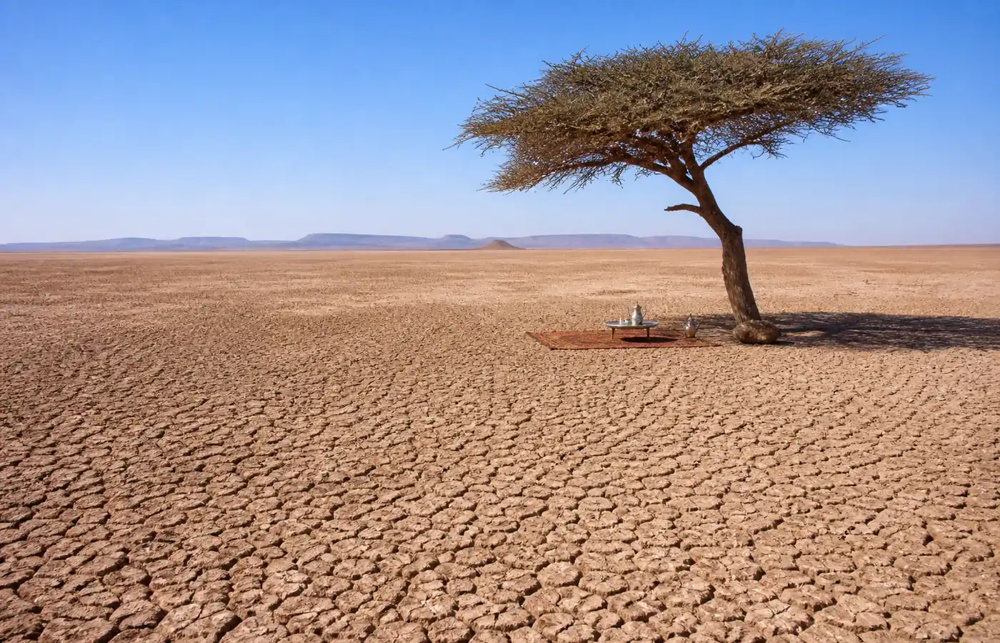
The clay and salt floor of an old lake, which holds water again only after heavy rain. In our region the most striking one is the bed of Lake Iriqui, set between the dunes and Jbel Bani: a white expanse of about 13 km by 11. When it is dry, 4x4s glide across it as if on a billiard table.
Places, roads and landmarks
Anti-Atlas
The southernmost mountain range in Morocco. It stretches for about 800 km, between the Atlantic and the fringes of the Tafilalet, and peaks at Jbel Sirwa, 3,304 m. A very old range, worn down by erosion, it shelters villages perched among almond trees. Coming from Marrakech or Agadir, the road down to Foum Zguid goes over it.
Draa valley
Morocco's longest river, 1,100 km between the High Atlas and the ocean, much of it running beneath the sand. From Agdz down to M'hamid, its valley lines up palm groves and ksour over 200 km. It used to feed Lake Iriqui. The Ouarzazate dam (1972), dry years and sand have all but severed the link: in September 2024 the lake filled from a different wadi, the Mhasser, which came down from the north. It has emptied since, and has stayed dry through 2025-2026.
Erg El Mhazil
The closest erg to the village, about 1.5 h of track away. Its dunes are lower than at Chigaga, but you are truly alone there. Short of time to get to the big erg? This is where we take you for your first night on the sand.
Erg Lihoudi
A small field of dunes ten kilometres or so north of M'hamid, known locally as "the dune of the Jew". Area: about 3 km². Height: around thirty metres according to elevation data, far from the 100 m sometimes claimed. Plenty of budget tours billed as "a night in the desert" end up here. The place has charm, but it is not Chigaga: camps are plentiful, and you soon run out of dunes to explore.
Erg Smar
A string of dunes along the eastern track linking M'hamid to Erg Chigaga. Camel treks stop here. Leaving from Foum Zguid you will not see it: our track goes by Lake Iriqui, on the other flank of the big erg.
Erg Zahar
A small erg on the M'hamid side, south-east of Chigaga, next to Erg Smar. Despite what you sometimes read, it therefore lies on the far side of the erg from Lake Iriqui. Some agencies sell it as "the singing dunes" or "the howling dunes", with no published measurement to back it up. As for the 250 m heights they claim, elevation data say otherwise: under 40 m.
Erg Znaigui
A name that appears in some desert camp offers. Depending on the source, it is not in the same place, and we do not take guests there. If an agency offers it to you, ask for its exact position.
Jbel Bani
The long dark range that closes the horizon north of Foum Zguid. Though low, it extends across hundreds of kilometres at the southern foot of the Anti-Atlas, a rampart separating oasis country from the desert. Carvings on its rocks are several thousand years old. The whole region now belongs to the Jbel Bani Geopark.
The N12
The road that follows the Bani along the edge of the desert, from Tata to Rissani by way of Foum Zguid and Zagora. Paved, beautiful and quiet, it is the favourite of motorhomes and motorcyclists looping round southern Morocco. Plenty of them take a break with us for a trip out to the dunes.
Oum Laalag oasis
A freshwater spring ringed with tamarisks in open desert. It spreads over some 15 hectares where Erg Chigaga ends to the north-east, within the boundaries of Iriqui National Park. Agencies call it "the Sacred Oasis". For the nomads it truly is, and caravans have stopped here since time out of mind. On our three-day tours, this is where we have lunch, in the shade, feet in cool sand.
Tata province
The province where we live, below the southern slope of the Anti-Atlas. Its oases stretch along the wadis, and it is one of the least visited regions of the country. Summer is scorching (up to 47 °C in July), winter full of light. The province's eastern entrance is Foum Zguid; the town of Tata, the provincial capital, is 1.5 h away by road.
Taznakht
A crossroads town at the turn-off from the main road towards Foum Zguid, for anyone coming from the north. Its speciality is the Ouaouzguite carpet, in wool, woven by the women of the hamlets of the Sirwa massif. Looking for a Moroccan carpet? Buy it in one of its cooperatives rather than in a big-city bazaar.
Tizi n'Tichka
The pass, at 2,260 m, by which the road from Marrakech to Ouarzazate crosses the High Atlas. Two hours of hairpins, vast views, and sometimes snow in the depths of winter. On our trips from Marrakech there is no way round it, and it is often the first big memory of the journey.
Climate
Chergui
A hot, dry wind from the east, related to the sirocco. It starts out beyond the Atlas, drops its moisture over the mountains and arrives in the south heavy with dust. Its season: mostly summer, sometimes a handful of days in spring. As soon as it rises, you tighten your cheche and wait: it always drops in the end.
The Saharan night
At sunset the desert changes. Within a few hours the temperature can fall by fifteen degrees, the silence becomes total and the sky lights up. At Chigaga, no lamp burns for about 60 km around: for most of the year, the Milky Way shows without binoculars. Many travellers make the whole journey for that night.
Culture and life in the south
Ait Atta
An Amazigh confederation, one of the largest in south-eastern Morocco. Its cradle is the Saghro massif; its families later pushed their seasonal herding routes as far as the Draa and the Ziz. Around Chigaga, many nomad families come from it. Several of our guides share this culture: for them, the desert is the family home.
Cheche
The Saharan turban: a strip of fine cotton four to five metres long, wound round the head and across the face. Sun, wind-blown sand, evening chill: it protects against all of them. Our guides will teach you to tie it. Of everything you buy on the trip, it will be the most useful, far more than a hat.
Desert tea
Chinese green tea, plenty of sugar, mint if any can be found, and above all time. Poured from high up, it foams; it is drunk over several glasses, from the strongest to the sweetest. Turning down the first glass is awkward; turning down the third is close to rude. The ceremony matters no less than the tea itself.
Dromedary or camel?
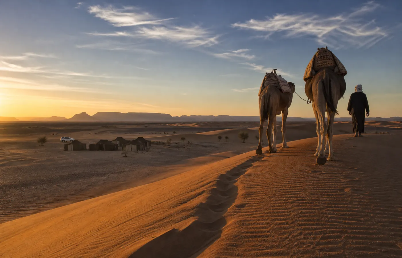
One hump is a dromedary; two humps, a camel, and that one lives in Central Asia. In Morocco every "camel" is therefore a dromedary, even if everyone mixes up the two words, ourselves included. The animal is not offended: it carries, it walks on, and it keeps its distance.
Kasbah and ksar
Two terms from earthen architecture. Kasbah: the fortified house of one family, with a tower at each corner. Ksar (plural ksour): an entire walled village, down to its roofed alleys. The Draa valley has dozens of them. The best known of all, Ait Ben Haddou, stands on the road from Marrakech.
Palm grove
An oasis farmed on several levels. At the top, the date palms give shade; lower down grow pomegranate and fig trees; on the ground, barley, alfalfa and henna. In Foum Zguid you explore it on foot in late afternoon, when the light filters through the fronds.
Seguia
A small channel that carries water through the gardens of the palm grove. The sharing follows water turns fixed between families generations ago. To discover an oasis, nothing beats following a seguia: it is bound to lead somewhere, quite often to someone glad of a chat.
Souk
The weekly market, a pillar of every southern town. Each place has its day, and nomad families ride in to sell and buy supplies. In Foum Zguid it is Thursday. It is still a real country market: livestock and dates, spices, blacksmiths at work, and not one souvenir stall.