Quick facts
- Where
- Southern Morocco, east of Foum Zguid, towards M'hamid
- Drive from Foum Zguid
- About 60 km of track, about 2.5 h by 4x4
- Drive from M'hamid
- 1 h 45 min of track by 4x4
- Dimensions
- Dune field about 40 km long
- Type of access
- By 4x4 track only
- Camp open
- September to early June
Torn between the two great ergs? Our comparison puts them side by side: Erg Chigaga vs Erg Chebbi.
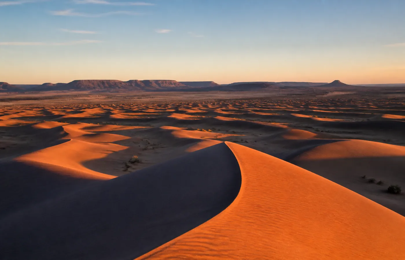
A wild erg, the last of its size
- Name: Erg Chigaga, also spelled Erg Chegaga.
- Extent: about 40 km of dunes in Morocco's deep south, from Lake Iriqui to the Draa river.
- Buildings: none. No hotel stands at the edge of the sand and no tarmac road comes close, the reverse of Erg Chebbi at Merzouga.
- Who lives here: nomad camps, plus seasonal tourist camps that are dismantled every summer.
- The sky: no light pollution for 60 km around. It ranks among the best places in the country for stargazing, and for most months the Milky Way shows to the naked eye.
That isolation is why its reputation as Morocco's wild dunes holds up: total silence, and nothing on the horizon whichever way you turn.
Things to do at Erg Chigaga
- Sleep at the camp: the core of any stay, with dinner round the fire, music and a black sky. Everything about our desert camp is on its own page.
- Catch sunrise and sunset: from a crest, while the sand shifts from gold to red and on to blue.
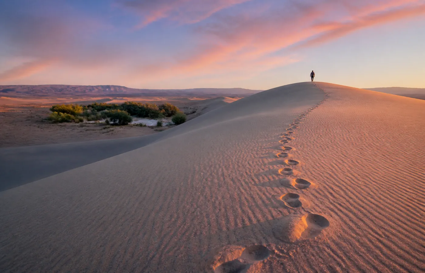
- Walk the dunes: barefoot and early, over cool sand no one has marked yet.
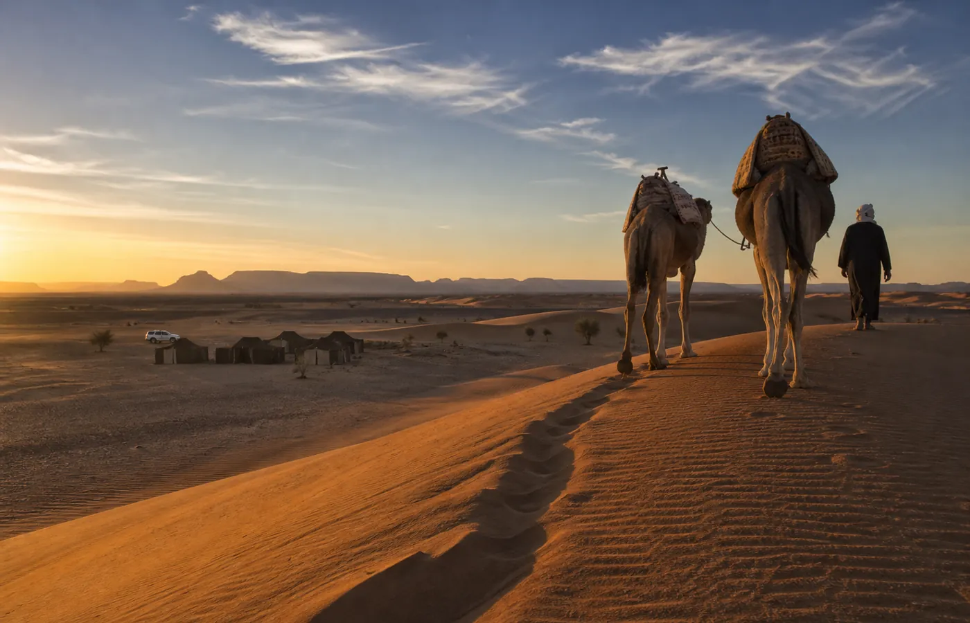
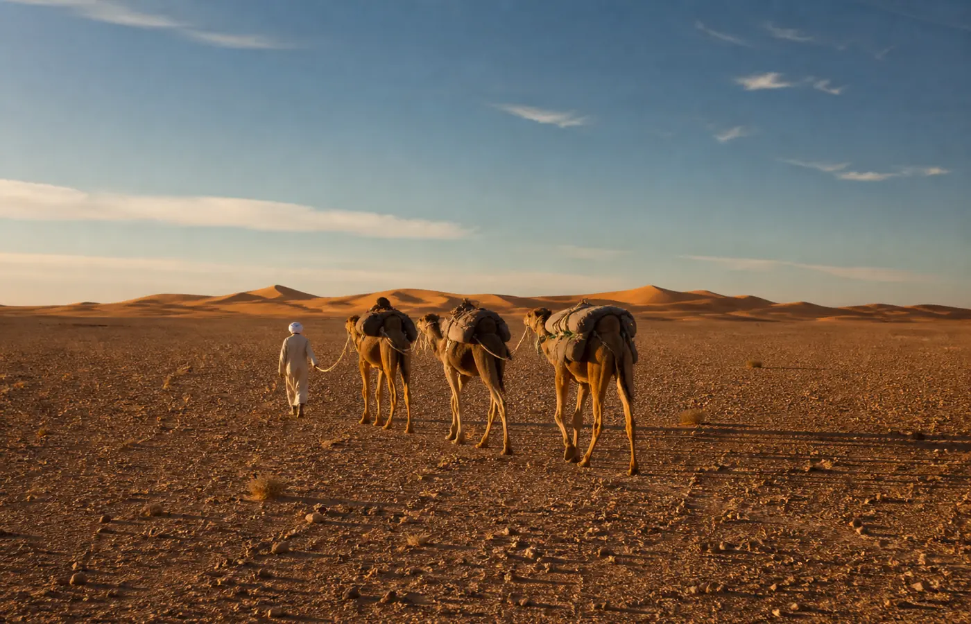
- Ride a camel: one hour at the pace of a caravan, or several days on a camel trek for the full experience.
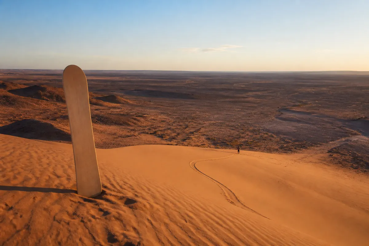
- Sandboard: the west-facing slopes are the ones to ride down, and boards wait for you at the camp.
- Meet nomads: a handful of families still camp near the erg. For many of our travellers, tea drunk in one of their tents is the best memory of the whole trip.
How to get to Erg Chigaga
| Starting point | What to expect | Time |
|---|---|---|
| Foum Zguid | The longer track: it runs over the Lake Iriqui lakebed and through the Moroccan Colorado. The journey as a whole is still the shortest one from Ouarzazate, Agadir or Marrakech. This is our side of the erg. | ≈ 2.5 h (60 km of track) |
| M'hamid | The shorter track of the two, crossing a string of small ergs to the east flank, where nearly every camp is. Both gateways are set out in our comparison of the two routes. | ≈ 1 h 45 min of track |
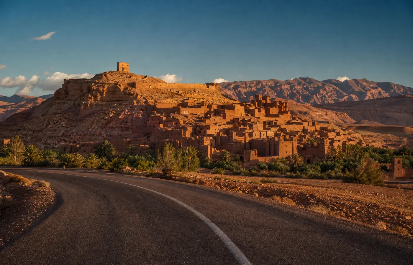
| Marrakech | Through Ouarzazate, then Foum Zguid: our 3-day trip does exactly that. | 1 to 2 days |
- On foot, with a caravan: the old crossing of the cameleers, for anyone with time to spare. Allow 4 to 5 days, from M'hamid or from Foum Zguid.
- To find your bearings: access routes, distances and tracks are drawn on our desert map.
Who lives around the erg
- All year: a few nomad families, shifting between the wells and the acacias where their goats and camels graze. Chigaga is less empty than it looks.
- In season: the tourist camps, ours among them, stand from September to early June. Over the summer the desert goes back to the nomads alone.
- Why that calendar: July afternoons hover around 43 °C, as the Erg Chigaga weather page shows month by month.
- Unwritten rules, which our guides keep to the letter: no camping close to a well; no photo of anyone who has not agreed to it; and when a nomad tent invites you in for tea, you say yes, because desert hospitality is not something you refuse.
Where Chigaga's sand comes from
- Origin: sediment that the Draa and the wadis of the Bani carried down over millennia.
- How it got here: the dominant winds took that sediment, sorted the grains and piled them into a natural trough, wedged between the valley and Lake Iriqui.
- Never finished: an erg is the slow work of the wind. Dunes creep forward, fall apart and rebuild; one windy day redraws the crests, so our guides navigate by the mountains, never by the sand. A dune you climb this year will have another shape the next.
- The consequence: nothing lasting can be built on ground that travels. Camps set up on the stable margins and are dismantled each summer, and the erg itself stays untouched.
The whole process, explained: how an erg is born, and what makes one.
Photos and stars at Chigaga
- Timing: the hour after sunrise and the hour before sunset, when low shadows sculpt the dunes. At midday they look flat.
- Wind: the morning after a windy day, ridges are clean-edged and carry no footprints. Those are the conditions to hope for.
- The sky: pick a night close to the new moon. The Milky Way then climbs above the dunes, under a darkness that has become rare in Morocco. Winter nights put Orion above the camp; by late season the core of the galaxy is back.
- Kit: a tripod, a red-light head torch, and the patience to wait for full dark.
Size of the erg, height of the dunes
Rank: the largest erg in Morocco, though how big it is depends on where the boundary is drawn.
| Measure | Note | Figure |
|---|---|---|
| Length | varies with the source | 25 to 40 km |
| Width | a usual estimate | around 15 km |
| Area | estimates only | 350 to 400 km² |
| Dune field altitude | from satellite elevation data | 465 to 530 m |
| Lake Iriqui altitude | just west of the erg | 455 to 465 m |
| Tallest dunes | measured from the plain; English Wikipedia stops at "over 50 m" | 70 to 100 m |
| Erg Chebbi, for comparison | at Merzouga | about 150 m |
The "300 m" printed on some websites rests on no measurement at all, and the satellite heights make it impossible.
Oum Lâalag, the Sacred Oasis
- The name: behind the "Sacred Oasis" of tour programmes there is a real place, Oum Lâalag.
- Where: in Iriqui National Park, on the north-eastern fringe of the erg; M'hamid lies about 50 km to its north-east.
- Size: about 15 hectares, so a small one.
- Belief: nomads regard it as sacred, and a fairy is said to live at its spring.
- On site: a café with a campsite.
- From Foum Zguid: it sits on the opposite side of the erg. If it appeals to you, tell us, and we will see how to work it into your route.
Phone, Wi-Fi, toilets and showers
- Phone signal: weak to non-existent once you are among the dunes. Some camps share a little Wi-Fi around the big tent, enough to send messages, and they make no promise about it themselves. Warn your family that you will be out of reach for one night.
- Standard camp: toilets and washbasins are shared; nearly every camp, ours too, works this way.
- Luxury camp: your own bathroom and a hot shower, the water often warmed by solar panels or a wood fire. Be careful: a camp with a solid reputation near M'hamid offers flush toilets yet no shower, just a bucket of hot water. Check the listing word by word before booking. Ours is set out on the luxury camp page.
Wildlife of the erg
- In the morning: mostly tracks in the sand, left by beetles and lizards.
- The sandfish (Scincus scincus): a skink roughly 20 cm long that moves through soft sand as if swimming, legs folded flat against its sides.
- The fennec fox: a North African desert dweller that eats insects and small animals.
- Horned viper and scorpions: the viper appears on the park's species list, and scorpions are present too.
- Black darkling beetles (tenebrionids): they live mainly on plant debris and insect remains. The fog-drinking species of wildlife documentaries are not from here: they belong to the Namib Desert, in Namibia.
- Around the erg: dorcas gazelles and addax are back in the national park.
Quads, motorbikes and rallies
- Hire: quads and buggies are rented in M'hamid, and never without a guide.
- The rule: the erg is part of a national park. ANDZOA, the state body for the oasis zones, advises keeping rally routes away from sensitive areas, some dunes and the lake among them. Stay on existing tracks.
- Rallye du Maroc, 1973: a special stage between Irherm and Foum Zguid.
- Africa Eco Race, 2014: one stage from Boudnib into Foum Zguid, the next from Foum Zguid on to Assa.
- Raid Courrier Sud: its route takes in Erg Lihoudi and Foum Zguid.
- The Paris-Dakar: no serious source puts it through Chigaga.
Your car, the risks, the precautions
- Ordinary car: it stops where the asphalt stops, at M'hamid or at Foum Zguid. After that comes sebkha, soft sand and track, for a 4x4 only. Leave the car in the village and we come to collect you. The tracks are drawn on our desert map.
- Border and military areas: Algeria's border, closed, runs not far away, and posted signs warn of military areas further south. Keep to the tracks everyone uses.
- Heat: summer days regularly top 40 °C; that is the reason camps shut, roughly June to August.
- Wind and rain: a sandstorm wipes away your landmarks, and one heavy downpour can cut a track. The Lake Iriqui track was cut that way in October 2024.
- The basic rule: never set off alone on a track you do not know.
Lake Iriqui and Chigaga on one track
What the Foum Zguid track has over every other approach: one crossing joins the two big landscapes of the south, the broad, white floor of Lake Iriqui first and the sea of dunes after it. This is the reason our 2-day tours start from this side: on a single day, you swap the bed of a vanished lake for the sand.
Questions and answers
Foum Zguid to Erg Chigaga: how long is the drive on the track?
Count on about 2.5 h in a 4x4, for some 60 km of track. The erg's second gateway, M'hamid, is 1 h 45 min from the sand.
Is the right spelling Chigaga or Chegaga?
Neither is wrong. Erg Chegaga and Erg Chigaga are two transcriptions of one Amazigh name, and a few maps even print "Chgaga". People searching in English type Chigaga more often, so that is the form we write here; French sources lean towards Chegaga.
Erg Chebbi at Merzouga or Erg Chigaga: how do I decide?
Chebbi: taller dunes, with hotels standing right at their foot. Chigaga: bigger, more isolated, without a single building, and you get in by 4x4 or on a camel, nothing else. Silence, a black sky and a sense of the end of the world point to Chigaga. Driving yourself in a hire car points to Chebbi.
Is one day enough to see Erg Chigaga?
From Foum Zguid it works, though the day is long: about 5 h of track there and back, before any time on the dunes. Night is what Chigaga does best, though, so stay over at the camp if your plans allow.
Which months suit a visit best?
The mildest weather runs from October to April. December and January bring cold nights in exchange for superb light. In July and August the heat rules out a night on the dunes: a sunrise trip to Lake Iriqui is the better plan then.
How tall are the dunes of Erg Chigaga?
Measured from the plain at their foot, the tallest reach 70 to 100 m or so. No survey supports the 300 m you see quoted here and there. The dune field as a whole lies between 465 and 530 m of altitude, give or take.
Will an ordinary car get me to Erg Chigaga?
No. Tarmac takes a standard car to M'hamid or to Foum Zguid, and no further. What follows is track, sand and sebkha: you need a 4x4, driven by someone who knows the terrain.
Does Erg Chigaga belong to the Sahara?
It does. Along with Erg Chebbi, it is one of Morocco's two great Saharan ergs. A "salt lake" or a "Lake Chagaga" turning up in a description nearly always means Lake Iriqui, the dried-out lake on the western side of the erg.
Can I get phone signal or Wi-Fi in the Chigaga dunes?
Seldom, and among the dunes often not at all. Some camps run a small Wi-Fi network close to the shared tent, without promising anything. Expect to be disconnected for one night.
Is a trip to Erg Chigaga dangerous?
Isolation is the risk, more than the place itself: heat in summer, wind-blown sand, a track washed out by a storm, and further south the closed frontier with Algeria and its military areas. Travel with an experienced desert driver and carry lots of water, and those risks stay small. With no desert experience, never set off on your own.
Did the Paris-Dakar ever cross Erg Chigaga?
Our research turned up nothing to show it did. Rallies on record in the region: the Raid Courrier Sud, the Rallye du Maroc in 1973 (a special stage between Irherm and Foum Zguid) and the Africa Eco Race in 2014 (stages through Foum Zguid).