The Foum Zguid desert map: Lake Iriqui, Erg Chigaga and the tracks
In short: this desert map places Erg Chigaga, Lake Iriqui and the tracks that lead to them from Foum Zguid. It answers three questions: where the tarmac stops, where the track starts, and where the dry lake lies. Key distance: from Foum Zguid to Erg Chigaga, about 60 km of track, or 2.5 h by 4x4. For years we sketched this in the sand for our travellers; here it is drawn properly, with real kilometres and a GPS position for each place.
How to read the map
The main landmark is Jbel Bani, a long dark range that divides road country from track country. North of it, tarmac: the N10 coming from Ouarzazate or Agadir, the N12 running to Zagora. South of it, nothing but desert. Foum Zguid sits exactly on that border, where the wadi breaks out of the mountain. For anyone coming from Marrakech, Agadir or Ouarzazate, the village is therefore the shortest way in to the Chigaga dunes, and where all our tours begin.
Distances and drive times
| Journey | Time | Distance | Surface |
|---|---|---|---|
| From Marrakech to Foum Zguid | 5 h | 310 km | paved |
| From Ouarzazate to Foum Zguid | 2.5 h | 160 km | paved |
| From Agadir to Foum Zguid | 4 h | 360 km | paved |
| From Zagora to Foum Zguid | 2 h | 130 km | paved |
| From Foum Zguid to Lake Iriqui | 1 h | about 40 km | 4x4 track |
| From Foum Zguid to Erg El Mhazil | 1.5 h | about 60 km | 4x4 track |
| From Foum Zguid to Erg Chigaga | 2.5 h | about 60 km | 4x4 track |
| From M'hamid to Erg Chigaga | 1 h 45 min | not measured | 4x4 track |
Track times are for a 4x4 in the hands of a driver who knows the ground, with stops for photos. Rain adds time.
GPS points for the main places
| Place | Latitude | Longitude |
|---|---|---|
| Foum Zguid, village centre | 30.082 N | 6.876 W |
| Lake Iriqui, on the lakebed | 29.816 N | 6.520 W |
| Erg Chigaga, camp area | 29.828 N | 6.250 W |
| Tissint, the waterfalls | 29.905 N | 7.322 W |
Approximate coordinates (see the FAQ). When you book, we provide the exact waypoints, updated for the state of the track.
What the map tells you about our routes
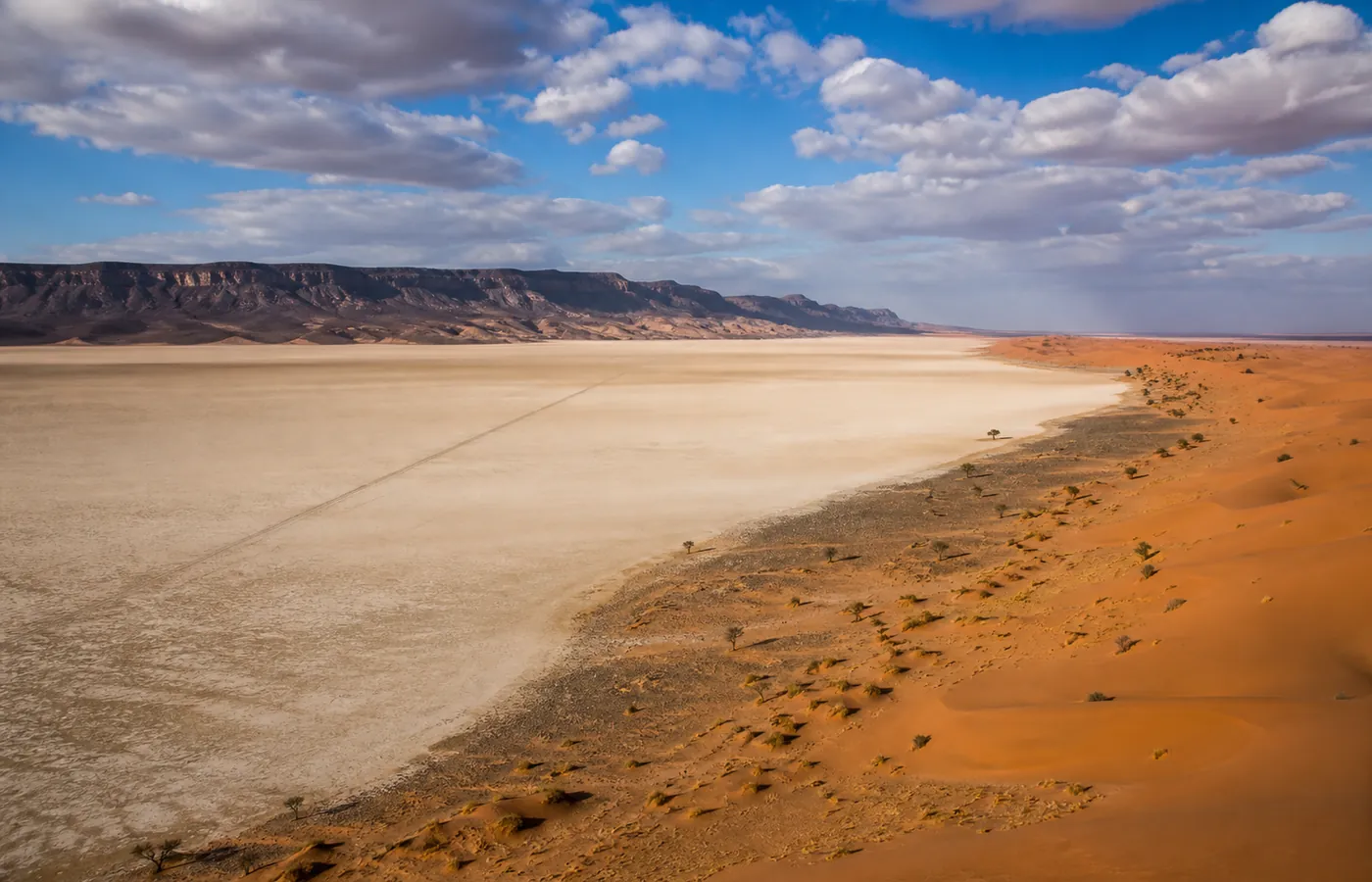
- The lake on the way: Lake Iriqui sits squarely between Foum Zguid and Chigaga. From our village there is no reaching the big dunes without crossing the old lake. That crossing is what adds time to our track compared with the M'hamid track, which arrives from the far side of the erg.
- The small erg nearer home: Erg El Mhazil lies to the south-west, 1.5 h of track from the village against 2.5 h for Chigaga. Near enough for a night decided the day before, remote enough to see nobody.
- The four-day loop: follow our grand tour over four days with a fingertip: across the lake, through two ergs, and home under the mountain wall, never on the same ground twice.
Questions and answers
Is Google Maps enough to follow these tracks?
No, and this point matters. On the lakebed, GPS apps invent routes, and they cannot tell whether a crossing is passable, which changes with every rain. Nothing replaces a guide who was on that track yesterday. If you are at the wheel of your own 4x4, write to us: we are happy to share recent GPS points with our travellers.
How precise are the GPS coordinates on this page?
To a few hundred metres: enough to know where you are, not enough to drive at night. The exact waypoints, such as the way onto the lakebed or the detours after rain, move from one season to the next. We send them to you, up to date, when you book.
Why a simplified map and not a satellite view?
A simplified map keeps what helps you decide: relative distances, the line between tarmac and track, and the lake lying across the route from the village to the dunes. For beautiful pictures, type 'Erg Chigaga' into a virtual globe. The result is stunning, but it will not get you across the lakebed.