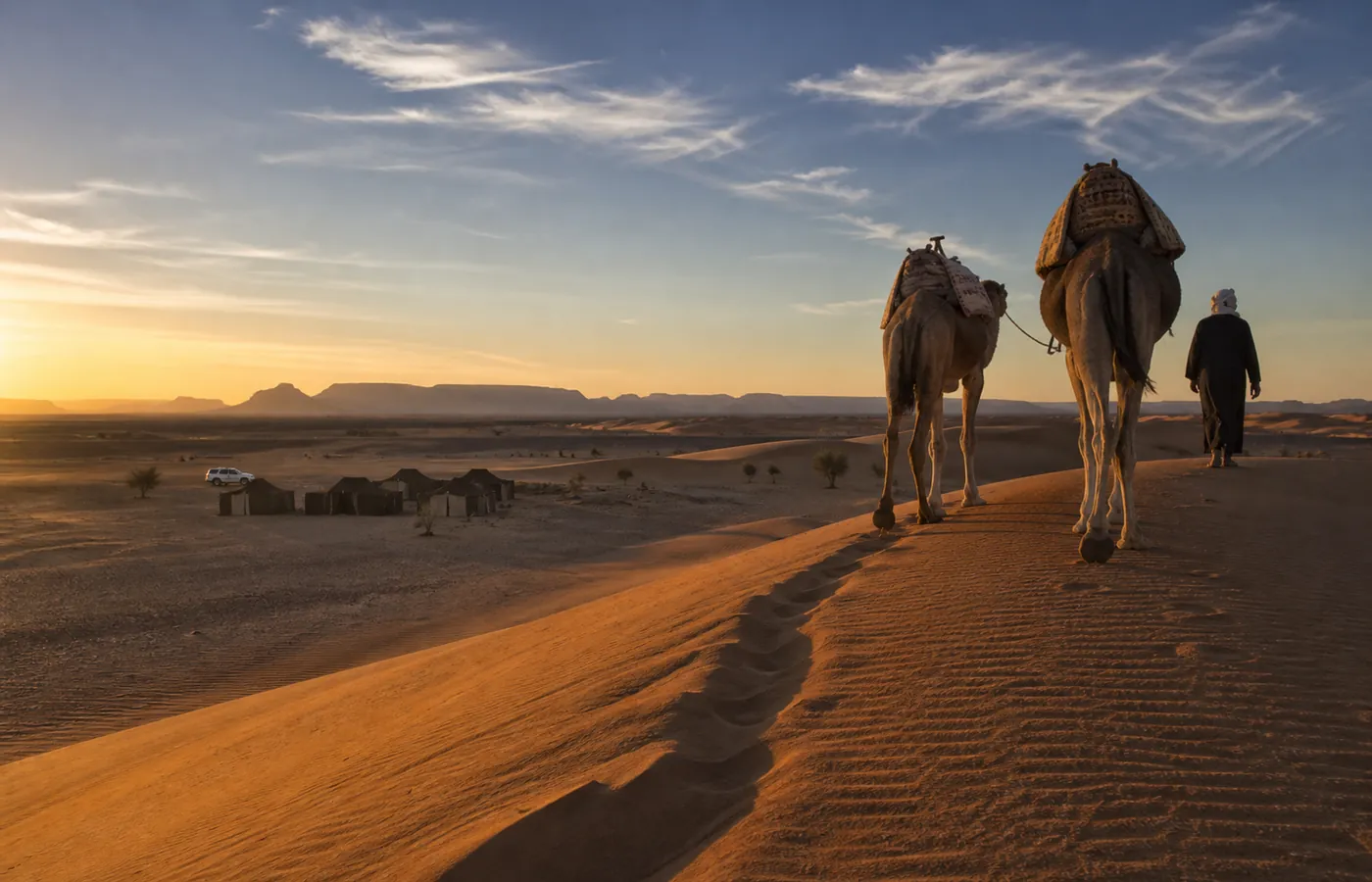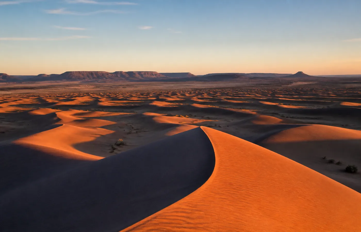
What is an erg? Definition, dune types and the Sahara's biggest ergs
In short: an erg is a desert of dunes, made of sand that the wind has carried and then shaped; English calls it a sand sea. Geographers add a size test: roughly 125 km² or more, with sand spread over more than one fifth of the area. Anything smaller counts as a dune field. The Sahara itself is mostly stone, rock plateaus (hamada) and pebble plains (reg), and ergs take up only a fifth to a quarter of it. Two places in Morocco pass the test: Erg Chebbi at Merzouga, and Erg Chigaga, the larger of the pair. Below: where the word comes from, how dunes form, then the great ergs of the Sahara and of the rest of the world.
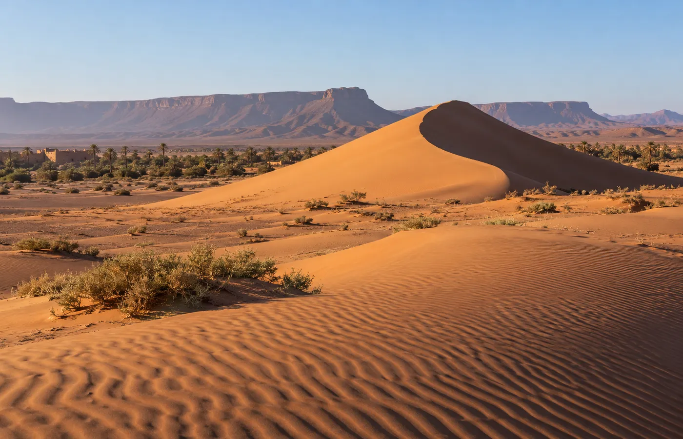
Erg: the definition in brief
- Everyday sense: a desert where wind-laid sand forms dunes in rows, over tens or even hundreds of kilometres. Plants are scarce there, sometimes absent altogether.
- Other names: sand sea, dune sea. A flat spread of sand with no dunes on it is a sand sheet, which is a different thing.
- Technical sense: in geomorphology handbooks, an area of roughly 125 km² or more on which sand covers over 20% of the ground. The threshold is a convention, and some authors put it slightly lower.
- Below the threshold: a dune field.
The word erg: origin and plural
- Etymology: Arabic ʿirq (عِرْق), "root", "vein" or "lineage".
- Route into English: from the Arabic of the Maghreb into French, then from French into English.
- Plural: usually "ergs", now and then "areg".
- Same landform, other words: edeyen in Tuareg, kum in Central Asia, nafud in the Arabian Peninsula.
- Not to be confused with: the physicists' erg, a former unit of energy.
Hamada, reg, sebkha, erg: reading a desert landscape
In the Sahara, stone beats sand by a wide margin. Four terms are enough to read almost any landscape you drive through.
| Word | What it is | Near Erg Chigaga |
|---|---|---|
| Hamada | A plateau of naked rock that the wind keeps scoured. It is the most widespread landscape in the Sahara. | East of the erg, the M'hamid hamada |
| Reg, or serir in the eastern Sahara | A level expanse of tightly packed gravel, still in place after the fine grains were carried off. | On the track, before the first dunes |
| Sebkha, or chott in Tunisia and Algeria | A depression with no relief where evaporating water leaves a crust of salt. Small ones also form in the hollows between dunes. | West of the erg, Lake Iriqui, without water in most years |
| Erg | A sea of dunes: sand moved and moulded by the wind over wide areas. | Erg Chigaga itself |
- Oued (wadi): a river that stays dry except after heavy rain. Most ergs built up downwind of old rivers, and those rivers delivered the sand.
- Draa: from the Arabic for "arm", the name of a giant dune several kilometres long that carries smaller dunes on top of it. Not the same as the Draa, the river that flows past Zagora and then M'hamid.
- Other terms: look them up in our desert glossary.
How an erg forms
- A store of dry sand: old riverbeds, deltas, floodplains, lakes that have dried up.
- Wind to carry it: the grains travel in short jumps, a centimetre or so off the ground.
- A trap to hold it: a basin, a ridge of high ground, or two winds meeting and slowing each other.
- Latitude: mostly from 20° to 40°, north and south of the equator, in the dry belt of the trade winds.
- Rain: an active erg receives 150 mm a year at most.
- Time: a million years or longer for ergs with giant dunes.
Textbook case: the Grand Erg Oriental, in Algeria. First, in the wet episodes of the Pliocene (until roughly 2.5 million years ago), rivers filled basins with sand. Then, from some 1.6 million years ago, the dry episodes of the Pleistocene and winds stronger than now piled that sand into dunes. Over the Sahara as a whole, the sand is 21 to 43 m thick on average, yet it passes 1,000 m in some subsiding basins, Murzuq in Libya for one.
Barchan, seif, star: the shapes of dunes
| Shape | Wind | Measurements and examples |
|---|---|---|
| Barchan: a crescent, tips pointing downwind | A single dominant wind | Usual height: 9-30 m. Speed: 1-100 m a year |
| Seif, or linear dune ("sword" in Arabic) | Two winds | Algeria, Erg Issaouane: up to 120 km in length |
| Star dune: three arms or more | Winds from several quarters | World's largest field in the Grand Erg Oriental (summits close to 230 m); 500 m at Badain Jaran in China, possibly a world record |
- Two rarer shapes: the dome, which has almost no avalanche slope, and the U-shaped parabolic dune.
- Singing dunes: real. The sound starts when very dry sand slides down the slip face, and it has been recorded at some 35 sites around the world.
- In Morocco: one measured case, on the Atlantic coast in the Tarfaya region: the Ghord Lahmar dune, close to Foum Agoutir. Scientists from Ibn Zohr University in Agadir and from the French CNRS measured its note: close to 105 Hz, at a volume of about 110 decibels.
- Erg Zahar: between M'hamid and Erg Chigaga, its "howling dunes" are only a name that guides use. No measurement has ever been published.
Is the Sahara mostly erg?
- Share of sand: roughly 20 to 25%, depending on the source.
- The estimates: Britannica gives about 25%, counting flat sand sheets without dunes; the French and German encyclopedias, about 20%.
- What is left: on close to 9 million km², mainly hamada and reg, plus mountain ranges and salt basins.
- So: picture the Sahara as endless dunes and you are picturing a quarter of it at most.
The largest ergs, in the Sahara and elsewhere
| Erg | Area | Country | Remark |
|---|---|---|---|
| Erg Chech | ≈ 206,000 km² | Algeria, Mali, Mauritania | Rain: 8-10 mm yearly |
| Grand Erg Oriental | ≈ 185,000 km² | Algeria, Tunisia | Star dunes close to 230 m |
| Ténéré (Erg of Bilma) | Several hundred thousand km² | Niger, Chad | Sources disagree |
| Grand Erg Occidental | ≈ 75,000 km² | Algeria | The 80,000 km² sometimes quoted has not been verified |
| Great Sand Sea | ≈ 72,000 km² | Egypt, Libya | Roughly 650 km by 300 |
| Idehan Ubari and Idehan Murzuq | ≈ 58,000 km² apiece | Libya | Murzuq is the model draa field |
| Erg Issaouane | ≈ 26,000 km² | Algeria | Dune height over the bedrock: 270 m |
| Erg Chigaga | ≈ 350-400 km² | Morocco | The biggest erg in the country |
| Rub' al Khali | ≈ 650,000 km² | Saudi Arabia, Oman, UAE, Yemen | The widest stretch of unbroken sand anywhere |
| Taklamakan | ≈ 337,000 km² (for the whole desert) | China | Record crescent dunes |
| Namib Sand Sea | ≈ 31,000 km² | Namibia | On the World Heritage list since 2013 |
- The two "grand ergs" of the geography books both lie in Algeria.
- Grand Erg Oriental: carries on into Tunisia. Sand covers about 70% of it, and corridors of reg known as gassi cut through.
- Grand Erg Occidental: fills the ground between the Oued Saoura and El Menia, at the southern foot of the Saharan Atlas. One of its star dunes rises 180 m over the bed of the Saoura.
Ergs, continent by continent
Asia (the Arabian Peninsula, Central Asia, China) and Africa (the Sahara, the Namib) hold the largest. Central Australia comes next. The Americas have few: in North America the one erg still active is the Gran Desierto de Altar, on the border between Mexico and the United States. Beyond the Earth, Mars, Venus and Titan, the moon of Saturn, have them too.
Morocco's ergs: the checked figures
In Morocco, "erg" gets attached to almost any group of dunes. With the 125 km² threshold, just two sites are ergs in the strict sense; all the others are dune fields. Here are the measurements, the ones that do not favour us included.
| Name | Size | Tallest dunes | Location |
|---|---|---|---|
| Erg Chigaga | Roughly 350-400 km², over 30-40 km | Roughly 70-80 m, measured from the plain | South of Jbel Bani, from M'hamid to Lake Iriqui |
| Erg Chebbi | Roughly 150-200 km², over 22-28 km | Roughly 150 m at the most | At Merzouga, close to the Algerian border |
| Erg Smar and Erg Zahar | A few km², 8 of them for Smar | Below 40 m from elevation data (one trek account says 70 m at Zahar) | South-east of Erg Chigaga, towards M'hamid |
| Erg Lihoudi | Roughly 3 km² | Roughly 25-30 m from elevation data | Some ten kilometres north of M'hamid |
| Tinfou dunes | Less than 1 km² | Never measured | South-east of Zagora, near Tamegroute |
- Erg Chigaga, the largest: our home ground, also spelled Chegaga. From Foum Zguid it takes 2.5 h of track, over 60 km. Its length is 30 to 40 km, according to where you put its edge.
- The 300 m myth: wrong. SRTM and ASTER data place the tallest dunes 70 to 80 m over the hollows that separate them, maybe slightly more, since these models round off sharp crests. Cross-check: run on Erg Chebbi, the same method returns its well-known 150 m. As for the crests of Erg Chigaga, their altitude, some 550 m above sea level, probably explains the mistake.
- Erg Chebbi: smaller, but taller. Our Erg Chigaga vs Erg Chebbi comparison weighs one against the other, and the guide to the best desert in Morocco brings in the remaining options.
- Erg El Mhazil: 1.5 h of track from Foum Zguid. Nobody has measured it. We suggest it for a first night among dunes, without selling it as a great erg.
- Other names: a few circulate, Erg Znaigui among them; its position could not be confirmed.
Water, plants and animals in an erg
- Rain: Erg Chech, 8-10 mm a year; Grand Erg Occidental, 33-62 mm.
- Groundwater: in northern Algeria, vast fossil aquifers lie under the ergs. The best known, the Continental Intercalaire, is put at some 60,000 km³.
- Plants: drinn, a dune grass (Stipagrostis pungens), is grazing for camels and gazelles; Calligonum bushes hold the crests in place. Around Erg Chigaga: acacias out on the plain, tamarisk on the dunes. After a shower, short-lived plants run through their whole cycle in two or three weeks.
- Fennec fox: its large ears get rid of heat, and its prey supplies most of the water it needs.
- Sandfish: a skink of around 20 cm that "swims" under the sand, out of the heat and out of reach of sand vipers.
- Iriqui National Park: dunes cover 46% of its area. Morocco's forestry administration counted 55 to 60 reintroduced addax there in June 2026, plus over 450 dorcas gazelles, all roaming free.
- Lake Iriqui: in September 2024 two exceptional storms filled it, for the first time since 1968, say researchers at Ibn Tofail University. The water has gone since; in 2025-2026 it is once again a dry lakebed.
To see an erg from the inside and spend a night in it, take our overnight trip from Foum Zguid to Erg Chigaga: two days, with the Lake Iriqui lakebed crossed on the way to the sand.
Questions and answers
What does erg mean in the desert?
Sand sea, or dune sea: a stretch of desert where the wind has heaped its sand into dunes. Specialists also set a minimum size, roughly 125 km², with sand spread over more than one fifth of the area. Below that, the right term is dune field.
Which ergs are there in the Sahara desert?
Its sand seas, and several of them are huge. Erg Chech, shared by Algeria, Mali and Mauritania, spreads over some 206,000 km². Next come the Grand Erg Oriental (some 185,000 km²), the Grand Erg Occidental (some 75,000 km²) and, across Egypt and Libya, the Great Sand Sea (some 72,000 km²). Add every erg together and you still cover only a fifth to a quarter of the Sahara.
Erg and reg: what is the difference?
The ground under your feet. An erg is sand built into dunes. A reg is level and stony: gravel and pebbles that stay behind once the wind has removed the sand and dust. People in the eastern Sahara call a reg a serir.
Is the Sahara one big erg?
Far from it. It contains many ergs, yet sand accounts for only about 20 to 25% of its surface. Rock plateaus (hamada) and gravel plains (reg) take up most of what remains, alongside mountain ranges and salt flats.
Which erg is the biggest in the world?
The Rub' al Khali, which spreads across about 650,000 km² of the Arabian Peninsula; Britannica knows of no wider expanse of unbroken sand on the planet. Inside the Sahara, the two giants are Erg Chech (some 206,000 km²) and the Grand Erg Oriental (some 185,000 km²).
Which is Morocco's largest erg?
Erg Chigaga, by a wide margin. Length: 30 to 40 km, according to the boundary you choose; area: roughly 350 to 400 km². Erg Chebbi, at Merzouga, takes up less ground, but its dunes climb higher, to around 150 m.
Do Erg Chigaga's dunes really reach 300 m?
No, and nobody who repeats that figure names a source. On terrain models built from satellite data (SRTM, ASTER), the tallest dunes rise 70 to 80 m or so over the surrounding plain. Run on Erg Chebbi, the method finds its 150 m as expected. Erg Chigaga's crests lie at some 550 m above sea level, and that altitude may be where the mix-up started.