Zagora in Morocco: the sights, the way in, and the right desert for you
In short: Zagora is a town of south-east Morocco, in the Draa valley, home to some 42,000 people (census of 2024) and set at 724 m. Ouarzazate is roughly 160 km away, Marrakech 350 km. What visitors come for: the Tamegroute library, the famous "Tombouctou 52 jours" sign, the Amezrou kasbah and the palm grove. The Zagora dunes, on the other hand, are small. For big ones, head for Erg Chigaga, via M'hamid or via Foum Zguid (130 km of tarmac, then 2.5 h of track).
Zagora, Morocco, at a glance
| Status | Provincial capital (Zagora Province, Draa-Tafilalet region) |
|---|---|
| Location | 724 m above sea level; the town lines the Draa, below Jbel Zagora |
| Population | Town: 40,067 in 2014, 42,275 in 2024. Province: 285,545 |
| Postal code | 47900 |
| Airport | OZG (ICAO: GMAZ), 7 km away |
| Berber name | Tazagourt, the same as the mountain that overlooks the town |
| Meaning of the name | Disputed: "treasure" for some, "two peaks" for others. No solid source settles it. |
- The valley: six palm groves follow one another over roughly 200 km. Listed from M'hamid back up to Agdz: M'hamid, Ktaoua, Fezouata, Ternata, Tinzouline, Mezguita. None of them is more than 5 km across.
- Dates: the Routard guidebook counts some thirty kinds of date in the oasis of Zagora.
The Zagora dunes: what to expect
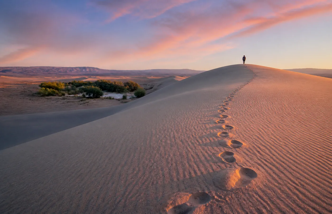
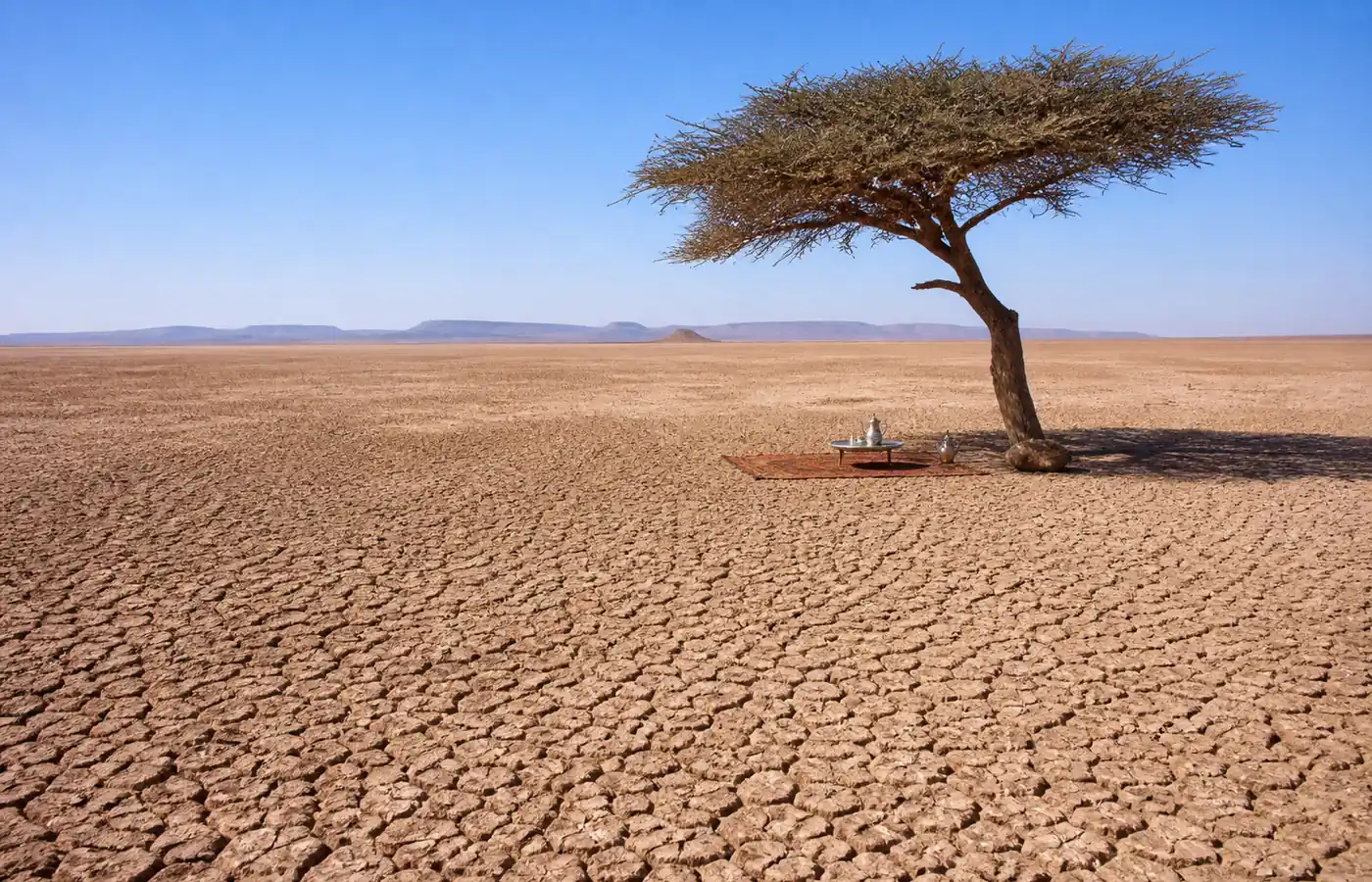
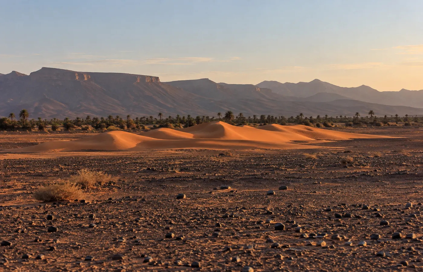
- No erg: around the town you see a plain of stones, the hamada, broken only by the green of the palm groves.
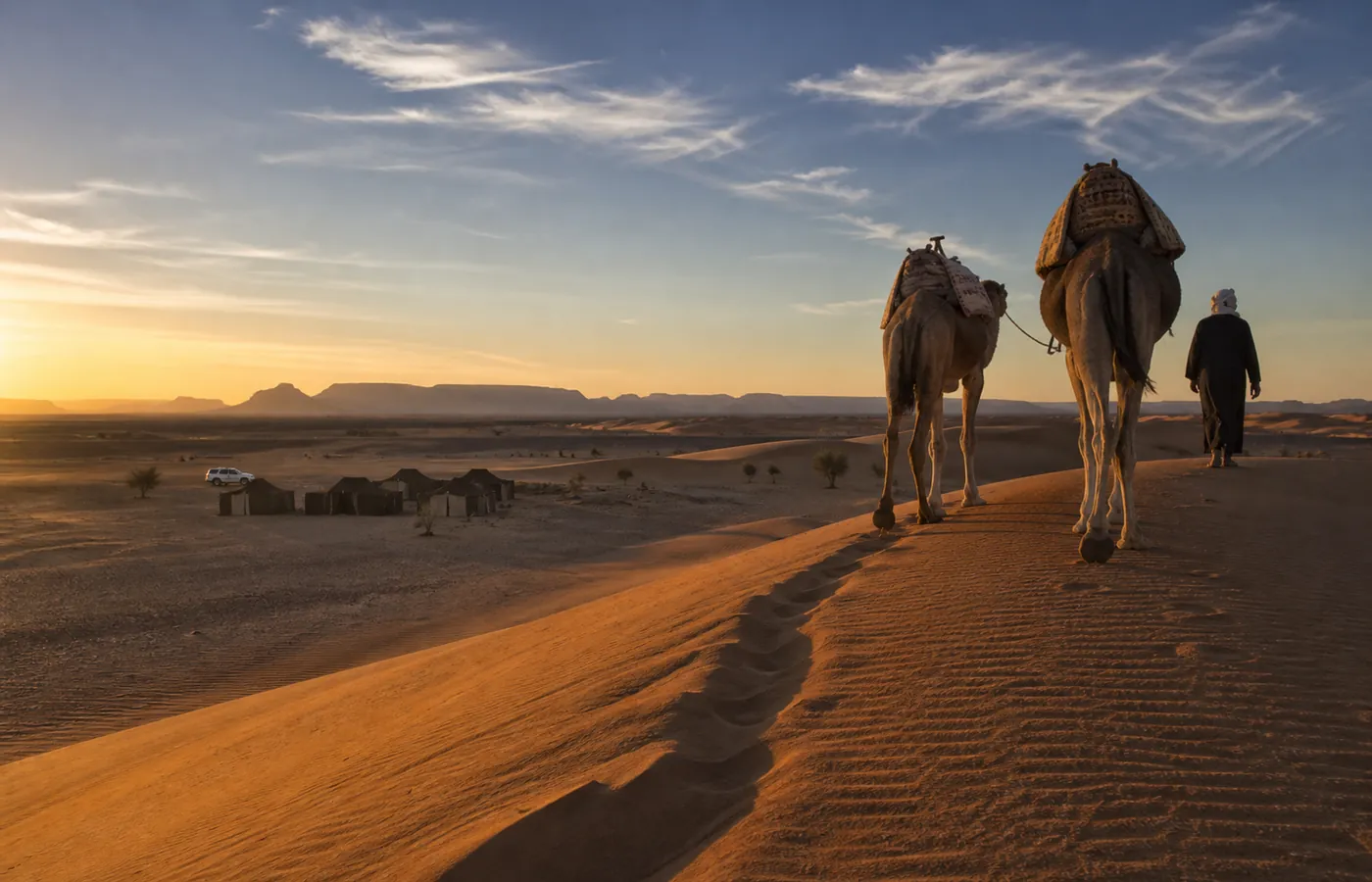
- The "Zagora dunes": what is sold under that name is usually Tinfou, a small, isolated field of sand some 25 km south, a few kilometres past Tamegroute.
- Further south: other small dune fields, Erg Lihoudi among them, on the way to M'hamid.
- Sleeping on sand: camps stand near Tinfou. When time is short, plenty of travellers find them enough for a single night in the sand.
- Height: we have found no reliable measurement. Simply expect them to be modest.
Zagora, Merzouga or Erg Chigaga?
- For tall dunes, Zagora disappoints. At Merzouga, Erg Chebbi reaches some 150 m, tarmac leads up to the sand and hotels stand right by the dunes. The catch is the journey: from Marrakech, about 560 km, which means 9 to 10 hours of driving.
- Zagora, by contrast, is within easier reach of Marrakech, but its desert stays low-key.
- The third way, on the Draa side: Erg Chigaga, an erg of 40 km with no hotel and no road. Two entrances: M'hamid in the east, and in the north-west Foum Zguid, our village. Our comparison Erg Chigaga vs Erg Chebbi sets the two big ergs side by side.
| Point | Merzouga (Erg Chebbi) | Erg Chigaga | Zagora (Tinfou) |
|---|---|---|---|
| Journey from Marrakech | 9 to 10 h, about 560 km | Road to Foum Zguid, 5 h for 310 km; track, 2.5 h | 6 to 7 h, 350 to 360 km |
| The dunes | Up to about 150 m high, some 28 km long | One erg, 40 km long | Small, isolated patches |
| Getting onto the sand | Tarmac road | By track only (4x4 or trek) | Tarmac road |
| Where you sleep | Hotels and camps at the edge of the dunes | Desert camps, nothing else | Hotels, riads, campsites, desert camps |
What to see in Zagora: six visits
- The palm grove: it starts where the town ends and continues to Amezrou, where most riads and guesthouses are found. A morning walk is the way to see it.
- Amezrou, the old Jewish quarter: roughly 5 km south, on the far bank of the Draa. Built in the 18th century, this fortified ksar housed Zagora's Jewish community. Inside: a restored synagogue, covered lanes, underground passages and a craft cooperative. Silver is the speciality here. Jewish silversmiths held the trade; when the community left, mostly around the middle of the 20th century, Berber craftsmen took it over.
- Tamegroute: roughly 20 km south. It is the seat of the Nasiriyya Sufi order, and in the 1640s its zaouia had Sidi Muhammad bin Nasir as master. The library keeps thousands of manuscripts (between 2,000 and 4,000, depending on the published figure), illuminated Qur'ans among them. Visitors may enter it, though the mausoleum is closed to non-Muslims. The village is also known for green pottery, its colour coming from copper in the glaze. Saturday is market day.
- Jbel Zagora: two summits (971 m and 1,030 m) and, on the slopes, what is left of an Almoravid fortress from the 11th century. Guidebooks speak of a three-hour walk there and back, yet also report that the top lies in a military zone, off limits to the public: check locally before you set out.
- The "Tombouctou 52 jours" sign: it gave the time needed, on foot or by camel, to reach Timbuktu. A painted mural now stands in for the original metal sign; according to some visitors, the old one is still there as well. Ask in town where to look.
- The souk: on Sunday morning, close to the centre, with a corner for livestock; many travellers also mention a Wednesday market. As for a "camel market" in Zagora, no reliable source speaks of one.
A little further out, about 8 km north of the town, stands the earthen ksar of Tissergate.
History in a few dates
- The caravan road: the Draa was a stage on the route linking Marrakech and Timbuktu.
- 11th century: the Almoravids fortify Jbel Zagora.
- 14th century: the Saadians settle in the valley.
- 1554 to 1636: the Saadian dynasty rules Morocco from Marrakech.
- 1591: the Saadian expedition to Timbuktu sets out from the Zagora area.
- Over the centuries: Jewish families live in the Draa valley.
Getting to Zagora: plane, bus, car
| Means | In practice |
|---|---|
| Plane | Zagora airport, code OZG (and not ZAG), lies 7 km out. Royal Air Maroc: a few weekly flights to Casablanca, some of them stopping at Ouarzazate. Before you book a Casablanca to Zagora flight, check that season's timetable. |
| Bus | CTM and Supratours, from Marrakech by way of Ouarzazate and Agdz: 7 to 8 hours. No direct line links Zagora and Merzouga. For M'hamid, local transport or a grand taxi, with times to check on the spot. |
| Grand taxi | Shared long-distance taxis work the N9. |
| Car | From Marrakech: the N9 over the Tizi n'Tichka (2260 m), through Ouarzazate and Agdz, then down the valley. Between 6 and 7 hours at the wheel. |
Distances from Zagora
| Destination | Time | Distance |
|---|---|---|
| Marrakech | 6 to 7 h | 350 to 360 km |
| Merzouga | 4.5 to 5 h | Roughly 300 km |
| Ouarzazate | Roughly 2 h 45 min | 160 to 165 km |
| Foum Zguid, on the N12 | 2 h | 130 km |
| M'hamid El Ghizlane | Roughly 1.5 h | Roughly 95 km |
| Agdz | Roughly 1.5 h | 92 km |
| Tinfou dunes | Roughly 25 km | |
| Tamegroute | Roughly 20 km | |
| Airport (OZG) | 7 km | |
| Amezrou | Roughly 5 km |
Zagora, M'hamid and Foum Zguid, with Lake Iriqui and the erg between them, all appear on our Morocco desert map, which is the quickest way to see how the three towns relate.
Festivals and events in Zagora
| Event | When | Good to know |
|---|---|---|
| Trans-Saharan Film Festival | Month varies: 19th edition on 5 to 9 October 2025; 20th announced for 6 to 11 December 2026 (official site) | Held in Zagora |
| Zagora International Marathon | 31 December, by tradition | A half marathon is run the same day; the organisers are the brothers Lahcen and Mohamad Ahansal |
| Moussem of Moulay Abdelkader Jilali | Every year; date not confirmed | Held in Zagora |
| Moussem of the Nasiriyya founder | About a month after Eid al-Adha | Held in Tamegroute |
| Nomads Festival | Spring | Held in M'hamid, not in Zagora |
When to go to Zagora
- Good season: October to April.
- In July: days often pass 40 °C; our area normals put afternoons at 42 to 47 °C.
- In January: afternoons of 17 to 21 °C, then nights of 0 to 6 °C. A gap worth knowing about if you plan to sleep at a camp in the dunes.
- Month by month: see our guide to the best time to visit the Sahara.
Practical information
- Accommodation: hotels in town, riads in the palm grove, campsites, kasbah-style hotels, and desert camps out towards Tinfou.
- Safety: go by the official travel advice your government publishes for Morocco, not by forum threads.
- Population: 42,275 in the town (2024), 285,545 across the province.
- Postal code: 47900.
Reaching Erg Chigaga from Zagora
| Route | The journey | Worth knowing |
|---|---|---|
| South, via M'hamid | Roughly 1.5 h of road to M'hamid, then about 1 h 45 min of track | The quicker of the two from Zagora |
| West, via Foum Zguid | The tarmac N12: 2 h (130 km). Then the track: Lake Iriqui 1 h from the village, Chigaga 2.5 h | Longer, but you cross the lake bed and arrive on the west side of the erg, where there are few camps |
- Our route: the western one. We live in Foum Zguid, and we can collect you in Zagora. Details: desert tours from Zagora. For how the two gateways compare, read Foum Zguid vs M'hamid.
- Heading back up the Draa afterwards: leave through M'hamid, the natural exit. In through Foum Zguid, out through M'hamid: that works perfectly well.
- With two days: the lake, then a night deep in the big dunes. That is the plan of our two-day trip from Foum Zguid to Erg Chigaga.
Questions and answers
In which part of Morocco is Zagora?
Down in the Draa valley, in the south-east of the country. The town, perched at 724 m, is the seat of the province that shares its name (Draa-Tafilalet region). Count roughly 160 km to Ouarzazate and 350 km to Marrakech.
Does Zagora have big sand dunes?
No. The most visited spot, Tinfou, some 25 km to the south, is only a small patch of dunes. For big ones you have to go on to Erg Chigaga, 40 km long, by way of Foum Zguid or M'hamid.
Zagora or Merzouga: which is better for the desert?
That depends on what you are after. Merzouga for tall dunes: Erg Chebbi there climbs to about 150 m. Zagora for a shorter drive from Marrakech, although its desert is modest. Erg Chigaga if you want big dunes and prefer the Draa side.
Is there an airport at Zagora?
Yes, 7 km out of town: code OZG (ICAO: GMAZ). Royal Air Maroc runs a few flights a week to Casablanca, at times with a stop in Ouarzazate. Timetables shift, so confirm the current one first.
How many people live in Zagora?
At the 2024 census, 42,275, against 40,067 in 2014. The province as a whole counted 285,545 people that year. Postal code: 47900.
On which day is the Zagora market held?
Sunday, and it pays to arrive early. Plenty of travellers also talk of a Wednesday market, which no official source confirms. In Tamegroute, 20 km south, market day is Saturday.